


The Landsat satellites have provided imagery over Australia since the early 1970s. This provides an archive of data that is useful for understanding changes in the environment, agriculture, water resources and many other fields of interest. The datasets acquired by Landsat 5 (1987 – 2011) and Landsat 7 (1999 – present) have been standardised to a systematic level to enable consistent analyses of the land surface both spatially and temporally.
The best bit about Landsat imagery is the fact that measurements are available for such a long period of time. This lets you do pretty cool time based analysis including:
Just be aware that there’s about a petabyte of data in behind the services (there’s about 184,000 individual scenes) - don’t expect to be able to process the whole thing in a weekend! The WCS services below make it easy for you to pull out small sections of the continent for analysis - just ask one of our data mentors if you’re unfamiliar with accessing these services.
The Landsat data has been processed to the Australian Reflectance Grid 25 (ARG25) specification, comprising six spectral bands at a nominal resolution of 25m. There are two ways of getting the imagery depending on what you want to do with it:
The published services adhere to the following conventions:
GA has some basic explanations on accessing these webservices here, and there are some instructions on how to connect to the Landsat archive services using Python here.
In addition to these data access services, GA maintains a catalogue of the GA Landsat archive, holding ISO 19115 metadata for each Landsat scene. The catalogue has an OGC Web Catalogue Service (CSW) allowing machine-to-machine access. Landsat data is available under Creative Commons Attribution 4.0 Licence (CC-BY).
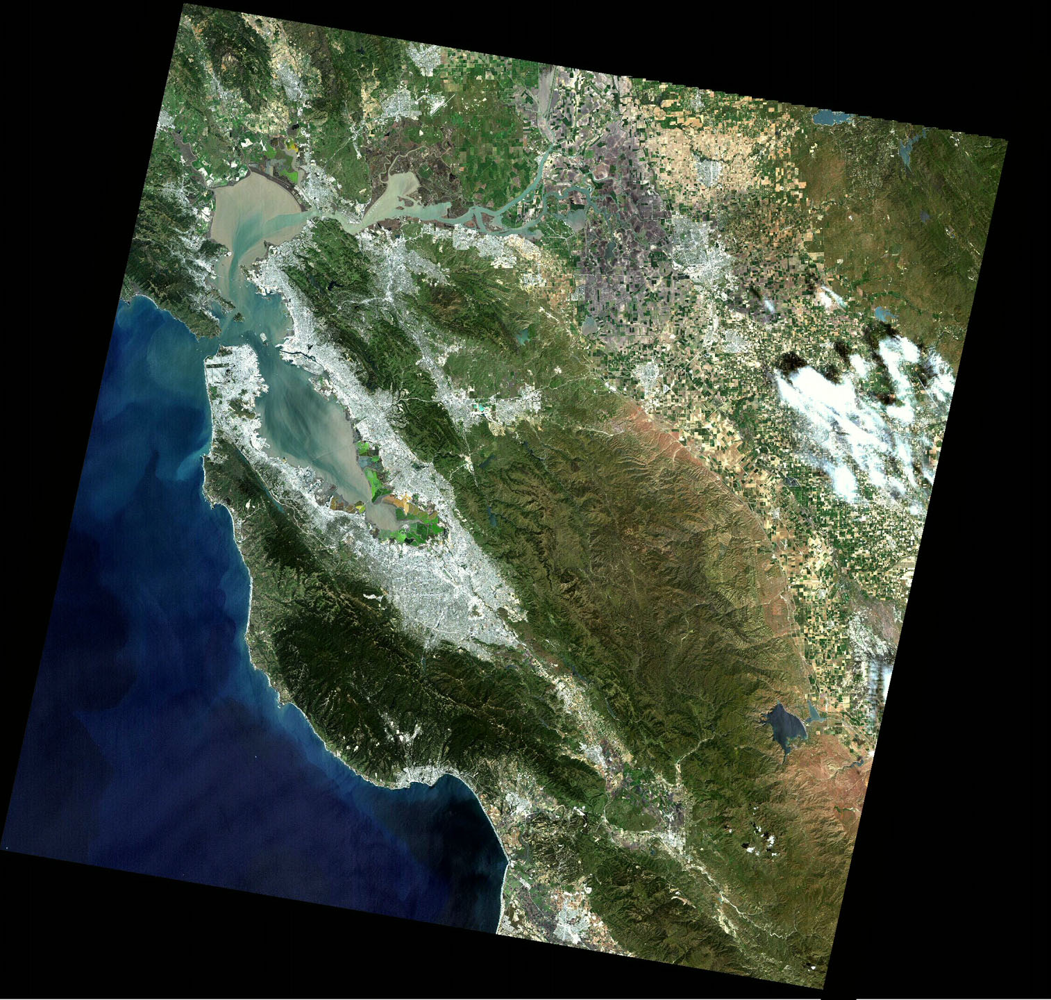
The USGS has a viewer for their landast data holdings if you want to take a quick look at what the data might look like.
Norman Mueller is GA’s data mentor for GovHack 2015 - you can contact him with any questions about accessing these services or for more information.