


Geoscience Australia Data and Publications
Geoscience Australia has an extensive catalogue of data, publications, online tools, maps and videos. These cover topics from astronomy, earth observation and satellite imagery, energy, geographic information, hazards, marine and costal, minerals, positioning and navigation and water.
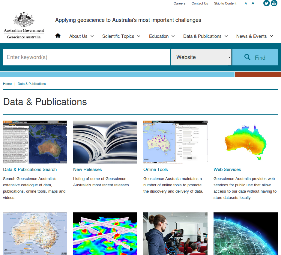
Many of Geoscience Australia’s datasets are available via web services, so you can serve live data directly into your hack or GIS package. Most of these services are listed on this page.
There are also links to MODIS, Landsat 7, Landsat 8, TERRA and AQUA data which are available immediately after each satellite overpass - there is more information about these data products here and technical details here.
Geoscience Australia also provides a large number of online tools to query parts of their data holdings - there’s more information on this page here.