


Atlas of Living Australia
The Atlas of Living Australia (ALA) is a collaborative, national project that aggregates biodiversity data from multiple sources and makes it available and usable online.
It contains a massive amount (nearly 56 million records) of biodiversity data collated by Australian scientific communities and citizen scientists. Tons of geospatially located species occurences, info on those species, and APIs for uploading and accessing data.
Some of the interesting datasets are:
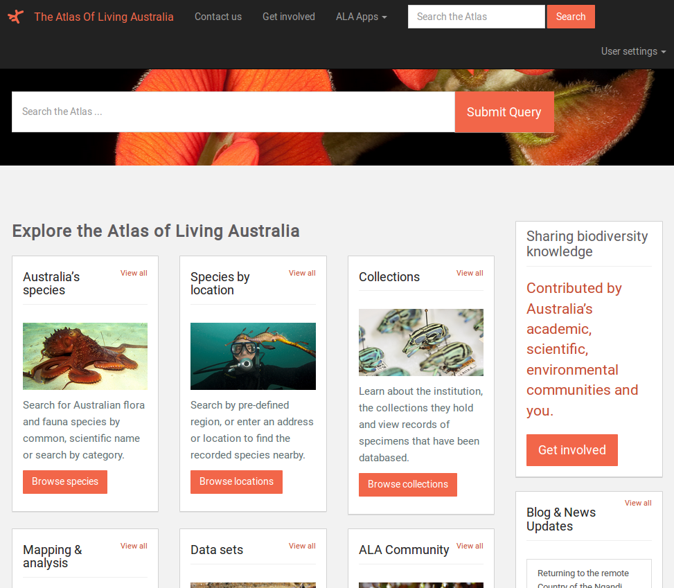
- Australia’s species - Search for Australian flora and fauna species by common, scientific name or search by category.
- Species by location - Search by pre-defined region, or enter an address or location to find the recorded species nearby.
- A list of collections - which lets you learn about the collections held by institutions contributing to the ALA and view records of specimens that have been included.
- Mapping and analysis - A spatial portal for investigating species occurrences within specified locations and the environmental impacts.
Other features:
- The ALA includes a sandbox to check your data is well formatted for includsion within the ALA - this might be useful if you want your hack to produce data for inclusion.
- The ALA also has dedicated iOS and Android apps you can use on your smartphone.
If you know what you want, then you can search for datasets directly using the ALA’s dataset search here. There’s also a spatial query portal which allows you to select data by locality - so it’s easy to see what’s available in a particular area you might be interested in. The ALA also provides their own web APIs for querying and discovering data - these are extensively documented with examples on the API page.
The ALA communications team can be contacted by email at info@ala.org.au