


GNS Science data
GNS Science, Te Pü Ao, is New Zealand’s leading provider of Earth, geoscience and isotope research and consultancy services. Their purpose is to understand natural Earth system processes and resources, and to translate these into economic, environmental and social benefits.
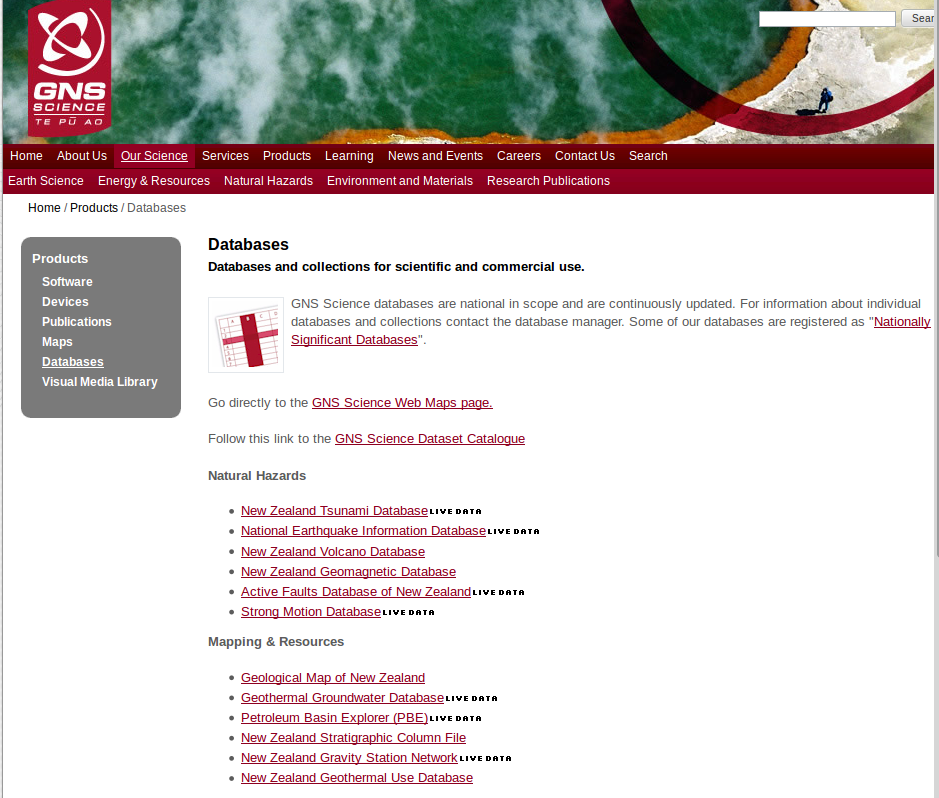
You can see a list of their databases here.
Some of the cool datasets on offer include:
-
GNS Web Map service - contains geomorphology maps, fossil locations, the geological map of New Zealand, data from the NZ gravity station network, the Active Faults database, petroleum data and PETLAB, a database of rock samples from across NZ’s universities and GNS Science.
-
The NZ Tsunami Database - contains information about tsunamis that have reached the coastline of New Zealand since humans arrived in this land until the present day. The database is the work of historical seismologist Gaye Downes of GNS Science who collected reports of tsunamis around New Zealand and, in many cases, carried out research to determine parameters of the source, travel time and impact associated with each event. Reports of tsunamis that make up the core of this database come from tide gauges, newspaper articles, harbour masters, records from ships, personal diary entries and Māori oral records.
-
New Zealand Active Faults Database - holds all data collected from investigations of active faults in NZ. Along with the locations of active faults, the Active Faults Database contains the results from field measurements of offset features, trenching, and dating. It also stores interpretation of these results in the form of the average fault recurrence interval, slip rate, and date of last movement. This detailed information, which is collected at many points along a fault, has been summarised and presented here for each fault.
-
Mineral Resources of New Zealand - consistes of three databases: an inventory of more than 10,000 sites for mineral, rock aggregate, building stone, coal, oil, gas, thermal water, and cold-water spring occurrences, with information on their location, geology, geochemistry, exploration, production and use; a compilation of Regional stream-sediment geochemical analyses from open-file mining company reports, with more than 6000 sites and 30,000 elemental analyses; and a compilation of drillhole data from Coal operations and exploration. Also includes more than 2000 open-file mineral exploration reports submitted under the Mining Act 1971.